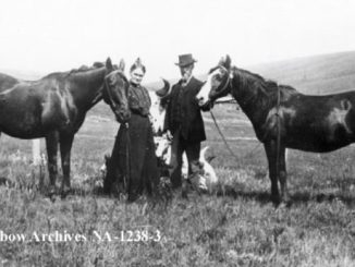
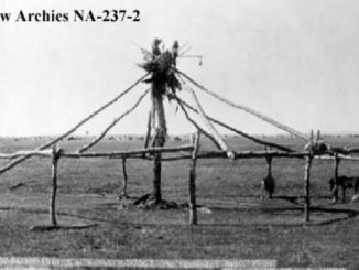
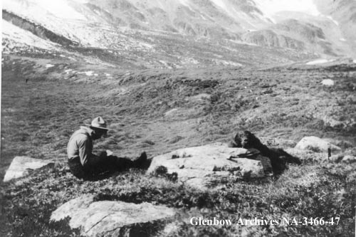
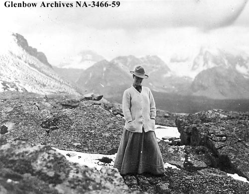
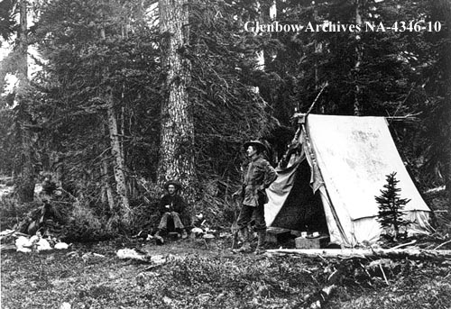
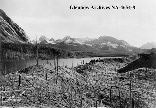
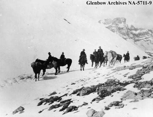
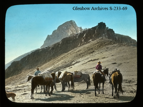
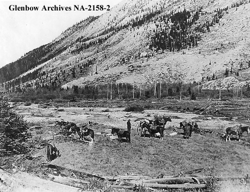
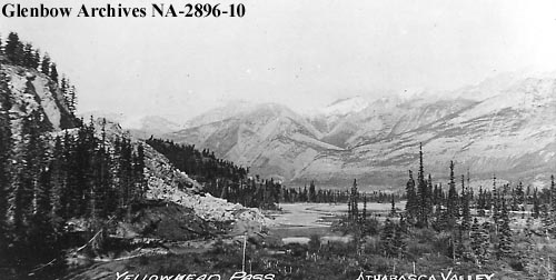
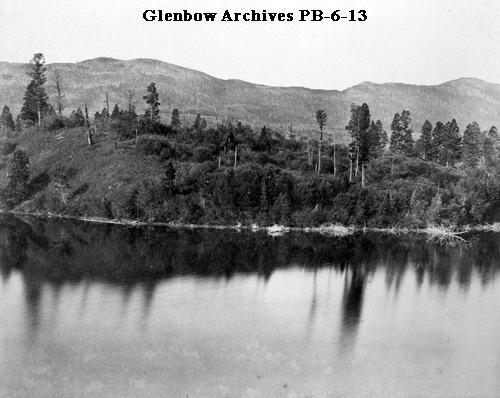
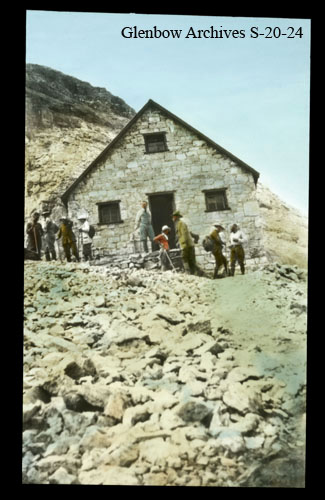
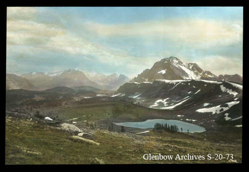
According to National Geographic, a pass can be defined as, “a gap, or break, in high, rugged terrain such as a mountain ridge.” Typically, passes are formed when a glacier or flowing water erode the terrain between areas of high relief. Mountain ranges across the world over have presented imposing challenges to exploration and travel, meaning passes have been utilized throughout history as the easiest route through difficult, steep terrain. Although “easy” is a relative term when you consider the challenges faced by the Canadian Pacific Railway as they attempted to navigate Kicking Horse Pass and Rogers Pass in their quest to reach the west coast. What follows is a collection of historical photographs featuring some prominent mountain passes from across Alberta. Some of these passes featured below have been used for centuries as different Indigenous groups navigated the landscape. Many of these passes can be found along the Continental Divide, which is also the modern day border between British Columbia and Alberta.
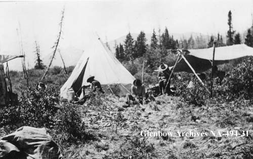
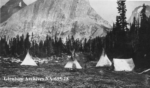
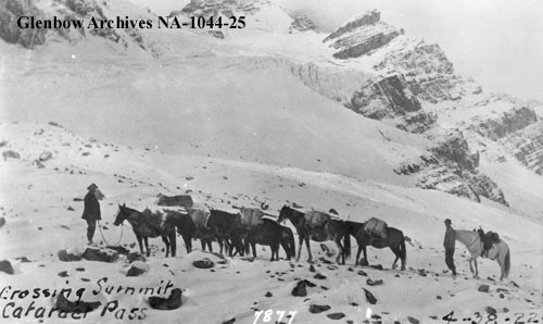
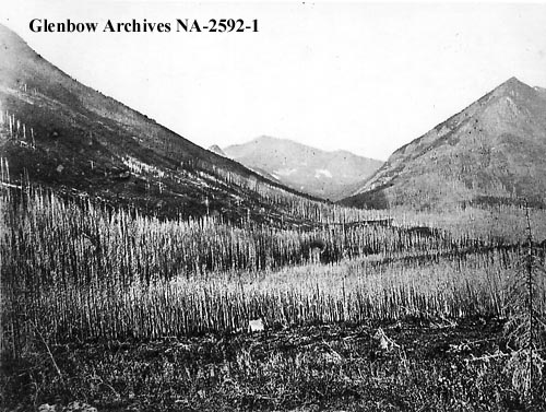
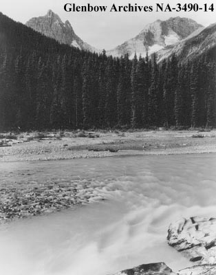
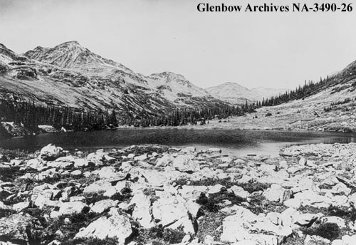
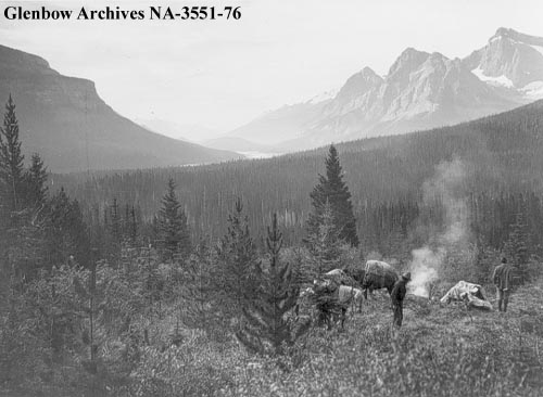
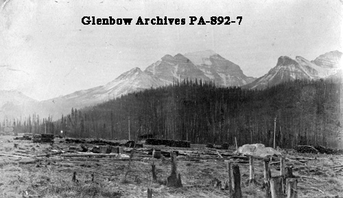
For related posts, please view the following collections of historical photos: Abbot Pass, Rogers Pass, Mountain Climbing, and The Alpine Club of Canada. If you’re interested in learning more about some mountain-specific careers, check out these profiles from my Wild Jobs series: Mountaineering Guide, Park Warden, and Hiking Outfitter.
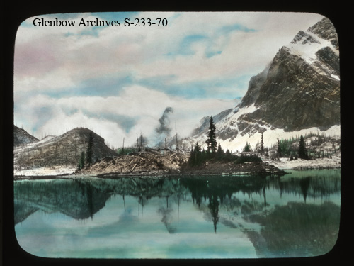
The photos above were collected from the Glenbow Archives. If you’re interested, additional information can be found for each photograph on the Glenbow website by searching the identification number that is printed on the photo. There is also the option to purchase a high resolution copy. Stay tuned for additional posts featuring historical photos from across Alberta. We’d love to know what you think on social media.
