At their most basic, glaciers are concentrations of fallen snow that are compressed over many years into large masses of ice. Glaciers form when more snow accumulates in an area than can melt in a season, which then transforms into ice as more and more snow falls on top of it. They are unique in that they are constantly moving under the weight of gravity, almost like a very slow river. Glaciers cover more than 200,000 square-kilometres in Canada alone, but that number appears to be decreasing. Due to the effects of climate change, scientists predict that by the year 2100 the glaciers in Alberta and British Columbia will have lost 70 percent of their 2005 volumes.
Glaciers are stunningly beautiful and incredibly dangerous at the same time. Without the proper expertise and equipment travel upon their surfaces poses a number of risks, such as crevasses, ice falls, avalanches, and even rock falls. When done under the proper circumstances glacier exploration can be both exhilarating and enjoyable. To learn more about the modern-day explorers, known as mountaineers, who traverse both rock and ice, please read this Wild Jobs story. After, scroll through this post featuring historical photos of different glaciers from across Alberta and the Continental Divide. How many of these glaciers have you seen in person? Can you notice a difference in their appearance between now and back then? Let us know what you think in the comments below.
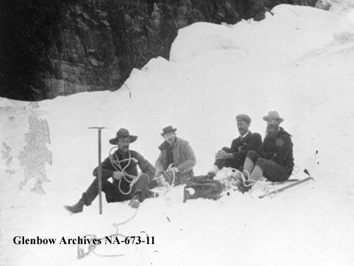
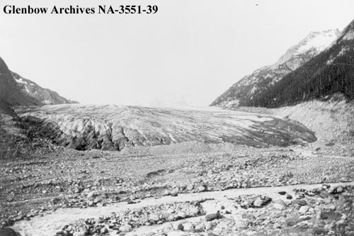
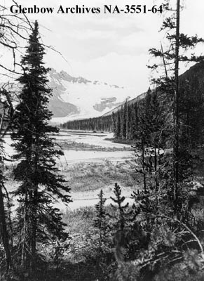
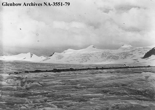
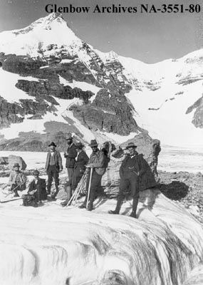
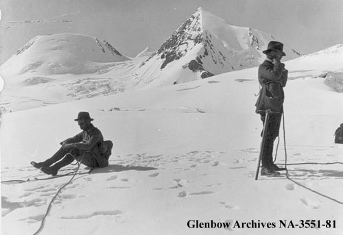
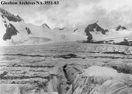
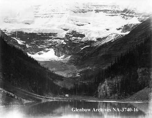
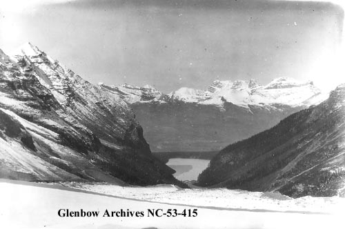
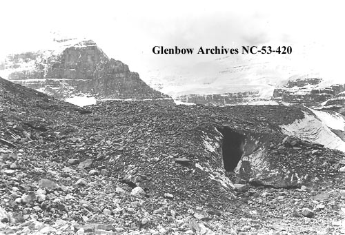
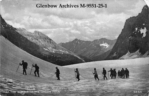
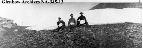
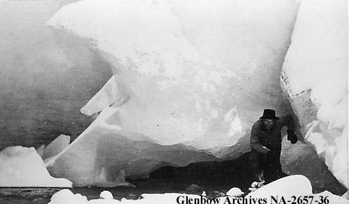
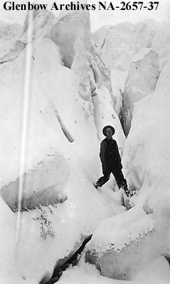
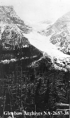
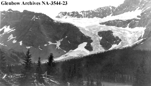
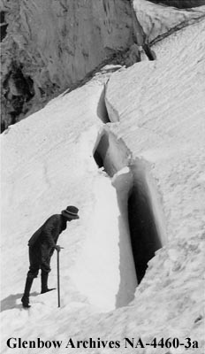
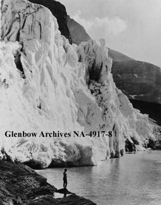
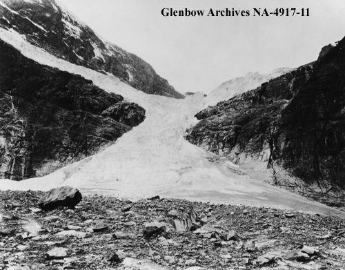
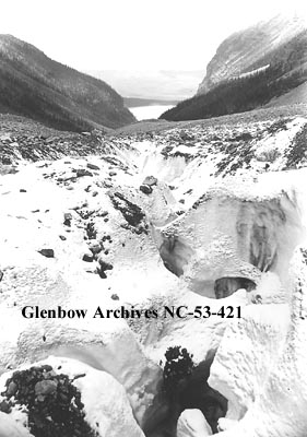
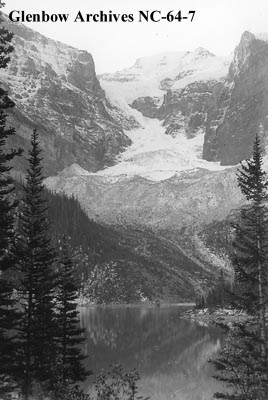
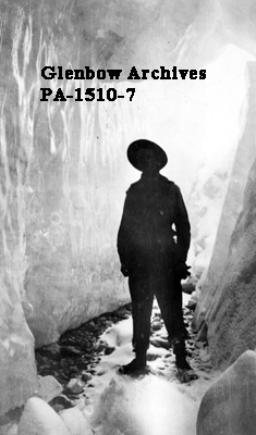
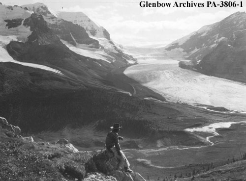
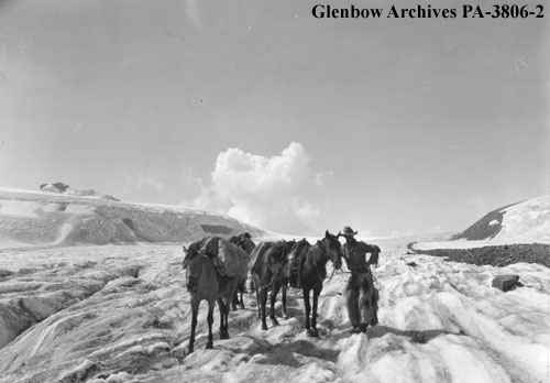
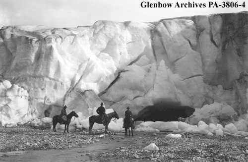
The photos above were collected from the Glenbow Archives. Additional information can be found for each photograph on the Glenbow website by searching the identification number that is printed on each photo. There is also the option to purchase a high-resolution copy. Stay tuned for additional posts featuring historical photos from across Alberta. We’d love to know what you think in the comment section below.

